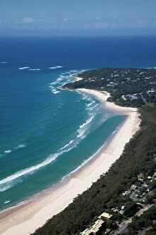
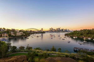
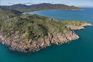
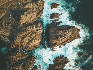
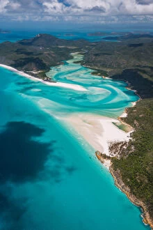
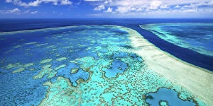
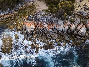
Springbrook national park, Gold Coast
aerial, coast, national, ocean, outdoor, paradise, park, skyline, surfers, tropical, vacation, view, Queensland (QLD), 532362144
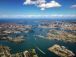
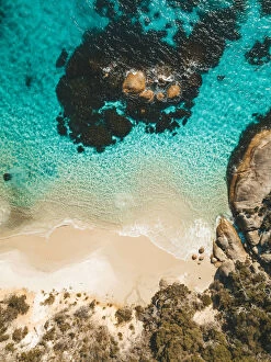
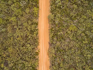
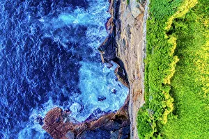
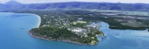
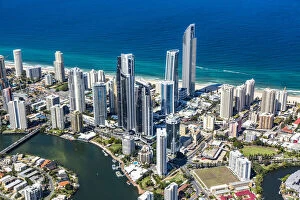
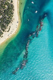
Springbrook national park, Gold Coast
aerial, coast, national, ocean, outdoor, paradise, park, skyline, surfers, tropical, vacation, view, Queensland (QLD), 532360008
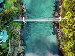
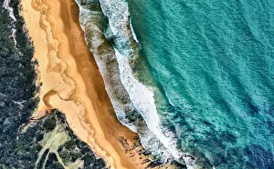
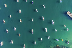
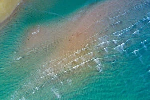
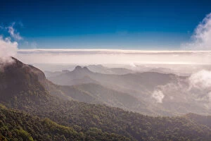
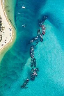
Springbrook national park, Gold Coast
aerial, coast, national, ocean, outdoor, paradise, park, skyline, surfers, tropical, vacation, view, Queensland (QLD), 532360026