mail_outline sales@mediastorehouse.com
Peaceful Bay in Western AustraliaPeaceful Bay, Western Australia
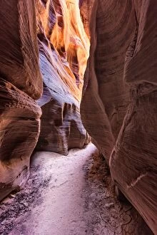
Buckskin Gulch Canyon Page ArizonaKanab, Utah and Page, Arizona in United States
Following down the Lighting Ridge from mt Lot at mt. Anne circuit. Southwest TasmaniaFollowing down the Lighting Ridge from mt Lot, after cooperating on the on mt. Anne circuit. ašLake Judd on the right and Lonely ponds on the left. Southwest Tasmania
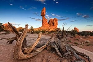
Arches National Park in Moab, UtahBalanced rock with old roots at Arches NP
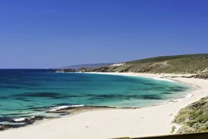
Cowaramup Bay North of Gracetown, Western Australia
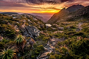
Following a track to the Lighting Ridge at mt Anne plateau in South West TasmaniaFollowing a track to the Lighting Ridge at Eliza plateau in South West Tasmania
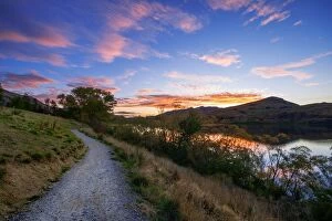
Sunset View of Lake Wakatipu With Surrounding Mountains, Queenstown-Lakes District, Otago Region, South IslandLake Wakatipu is an inland lake (finger lake) in the South Island of New Zealand. It is in the southwest corner of the Otago Region, near its boundary with Southland
Rome HeadView to the Rome Head near Peaceful Bay in Western Australia
Yallingup ShorelineSunset near Yallingup. Leeuwin-Naturaliste National Park, Western Australia
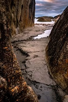
Elephant Rocks at William BayWilliam Bay National Park, Western Australia
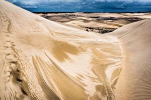
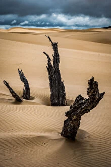
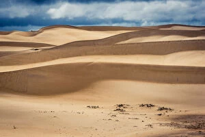
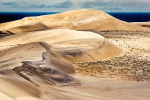
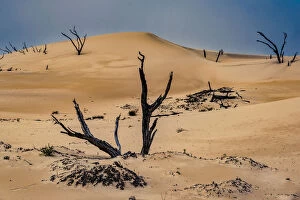
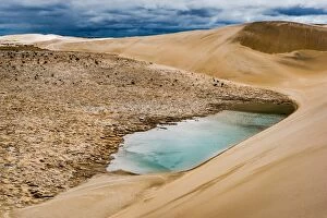
Bremer Bay, Reef Beach Dunes, Western Ausralia, explore, sand dunes, Viktor Posnov Travel Photography, 674423258
Reef Beach Dunes are 220 m high above the ocean. I found them using satellite google maps, and get there using bicicle. It was about 8 km ride
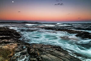
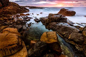
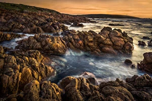
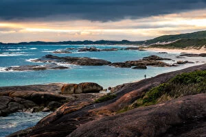
Sunset on the coastline near Denmark, Western AustraliaDenmark, Western Australia
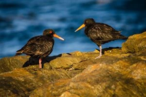
Sooty Oystercatchers at William Bay National Park, Western Australia
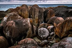
Green Pools at William Bay National Park, Western Australia
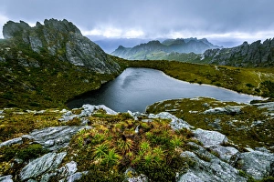
View of Hanging Lake and Eastern Arthurs Range from Geeves Bluff. Southwest Tasmania
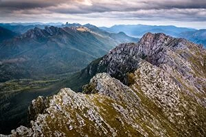
Aerial view to Federation Peak and Eastern Arthurs Range over West Portal in Southwest Tasmania
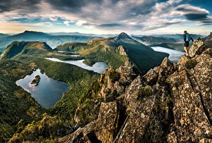
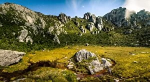
Lake Oberon Basin with mt Oberon to the left and mt Sirius to the left. Western Arthurs, Southwest Tasmania
Indiup Beachsummer time views along indium beach margarete river