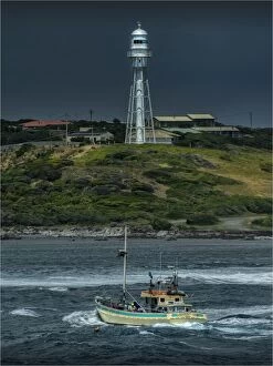
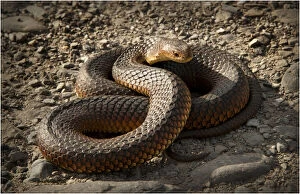
Bass Strait Collection (page 5)

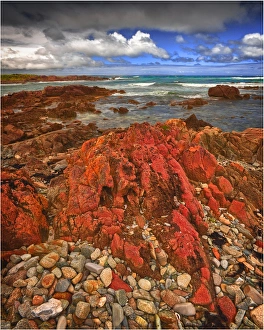
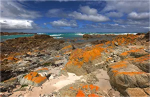
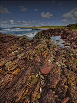
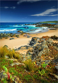
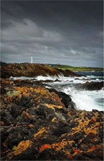
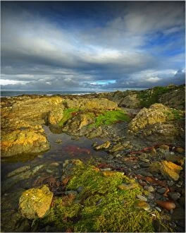
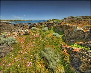
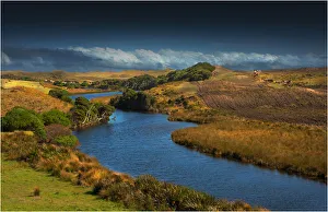
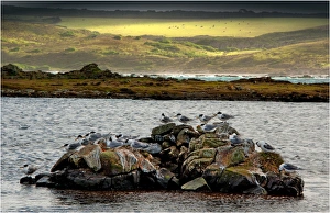
The Gulchway, a rugged and isolated part of the West coastline of King Island, Bass Strait, Tasmania
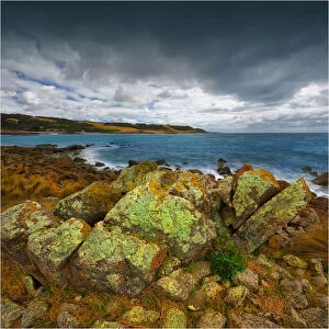
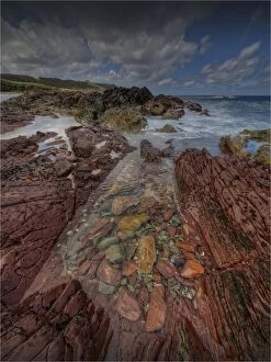
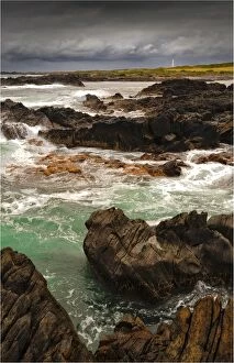
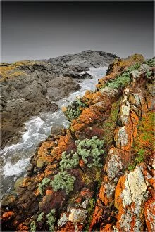
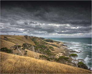
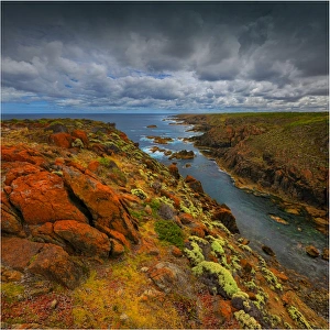
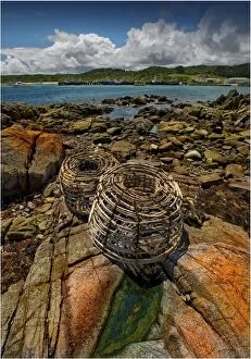
The Gulchway, a rugged and isolated part of the West coastline of King Island, Bass Strait, Tasmania
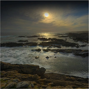
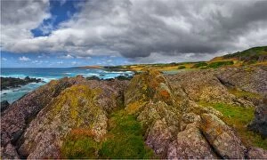
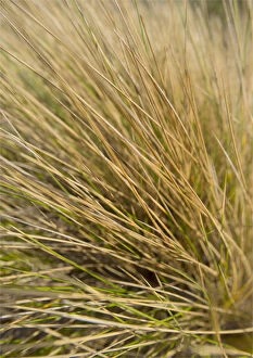
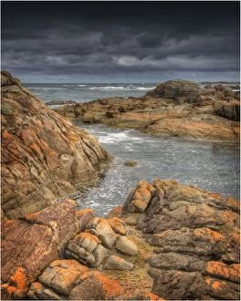
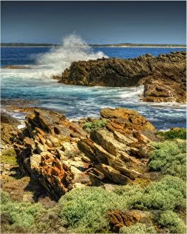
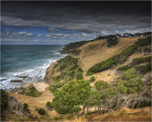
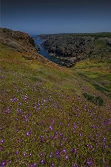
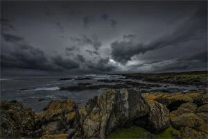
The Gulchway, a rugged and isolated part of the West coastline of King Island, Bass Strait, Tasmania
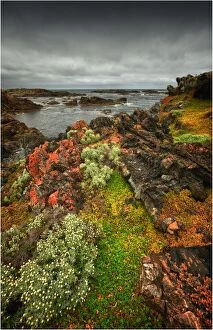
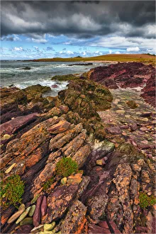
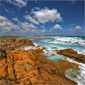
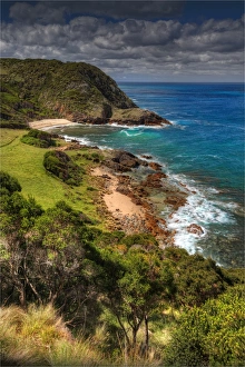
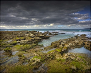
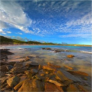
The Gulchway, a rugged and isolated part of the West coastline of King Island, Bass Strait, Tasmania

The Gulchway, a rugged and isolated part of the West coastline of King Island, Bass Strait, Tasmania