mail_outline sales@mediastorehouse.com
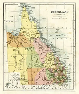
Antique map - Queensland Australia" Antique map from 1864 of showing Queensland, Australia"
Map of Australasia (1898 engraving)Old map of Australasia from 1898
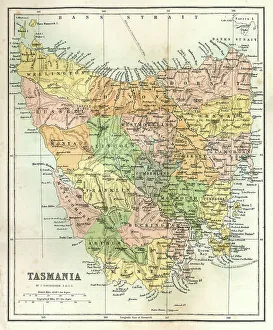
Antique Map of TasmaniaAntique map of Tasmania from 1867
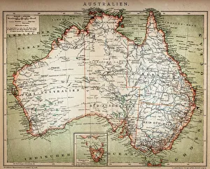
Antique Map of AustraliaVintage map of Australia, from 1894
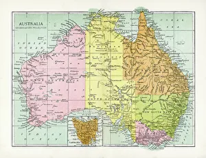
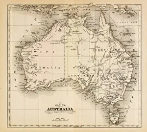
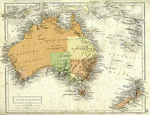
Map of Australia 1874Map of Australia
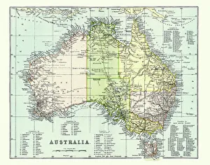
Antique Map of Australia Late 19th CenturyAntique Map of Australia in the late 19th Century
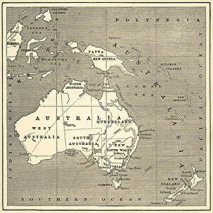
Map of Australasia (1882 engraving)Old map of Australasia from "Royal Geographical Readers no. 5" of Asia, Africa, America and Oceania, publ. T Nelson & Sons, London in 1883
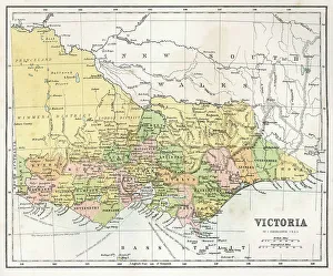
Antique Map of Victoria, AustraliaAntique map of the State of Victoria, Australia, from 1867
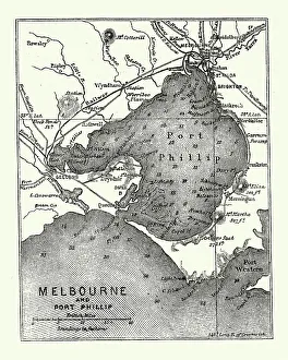
Map of Melbourne and Port Phillip, Australia, 19th CenturyVintage engraving of Map of Melbourne and Port Phillip, Australia, 19th Century
Antique map of Australia and New ZealandVintage map of Australia and New Zealand in 1861
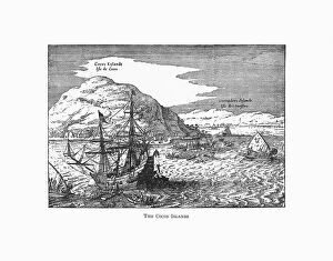
The Cocos Islands Dutch Navigation, Victorian IllustrationVery Rare, Beautifully Illustrated Antique Engraved Victorian Illustration of The Cocos Islands. Copyright has expired on this artwork. Digitally restored
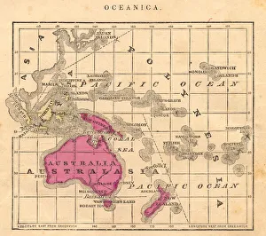
Antique 1867 Oceania Australia Australasia Map, Geography, History, CartographyColor stock photo of an antique map of Oceania, Australia, Australasia, etc. salvaged from an 1867 school geography book
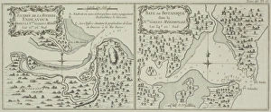
Antique maps of Botany Bay and Endeavour River in Australia
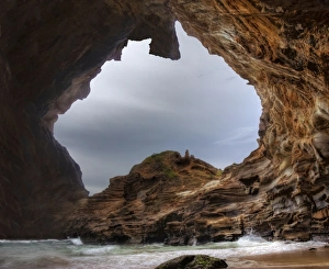
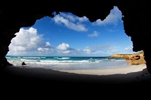
Australia - Coastal Cliffs and CavesDigitally manipulated into a map of Australia. Represents the rugged Australian coastline including beach, ocean, waves, cliffs, caves and rocky headlands.Ghosties Beach, NSW, Australia
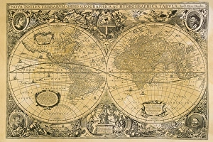
Vintage map of the world
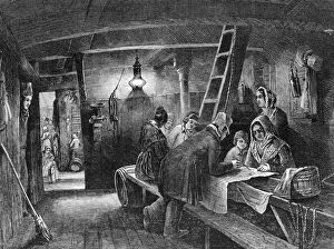
Australia BoundEmigrants plot their progress on board a ship bound for Australia, 1849. (Photo by Hulton Archive/Getty Images)
Eyre Peninsula, South Australia, Australian, Australia, coast, coastal, sea, oceanAustralia