mail_outline sales@mediastorehouse.com
Choose a picture from our Images Dated 2nd October 2015 Collection for your Wall Art and Photo Gifts
7 items
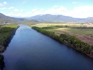
Barron RiverThis aerial photo shows the lower reaches upstream from the delta of the Barron River, near Cairns, Queensland, Australia
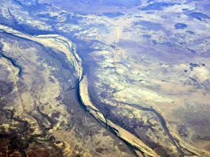
Mitchell River - QueenslandThis aerial photo shows the middle reaches of the Mitchell River located in Far North Queensland, Australia. The river rises on the Atherton Tableland about 50 kilometres northwest of Cairns
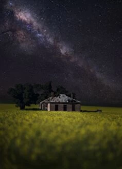
Canola crop farm house shed milky way stars nightCanola crop with farm shed under nights sky
Mount Mulligan was a mining town in northern Queensland, Australia, the site of Queenslands worst mining disaster. It was a coal mining town from 1910 until 19 September 1921 when an underground
The reflection of MelbourneMelbourne city in the morning
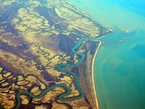
Nassau RiverThis aerial photograph shows the mouth of the Nassau River, flowing into the Gulf of Carpentaria, Cape York, Far North Queensland, Australia
Canola field sunrise light country yellow