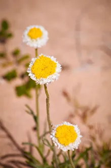
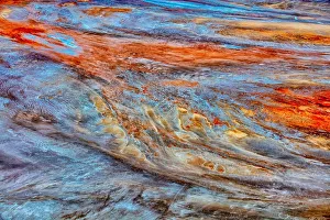
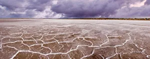
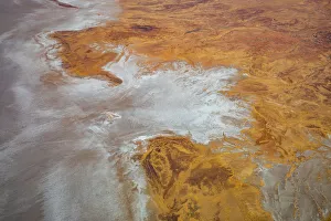
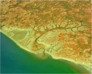
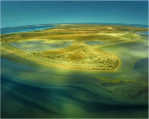
Kati Thanda-Lake Eyre National Park Gallery
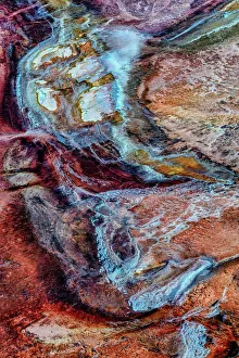
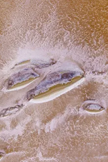
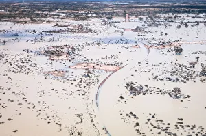
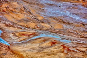
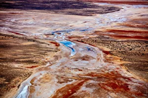
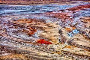
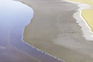
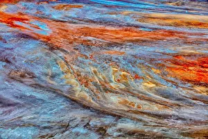
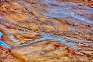
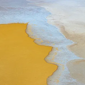
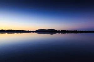
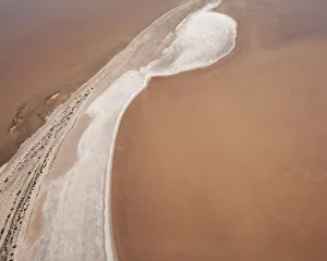
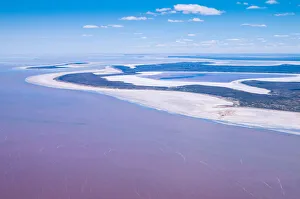
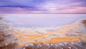
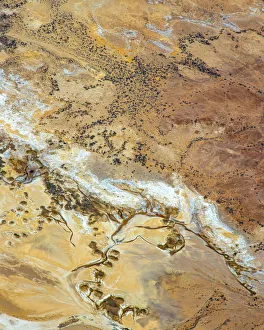
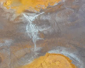
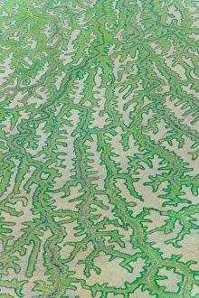
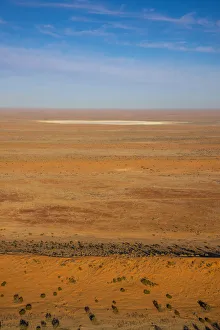
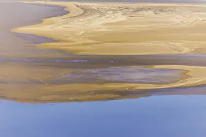
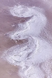
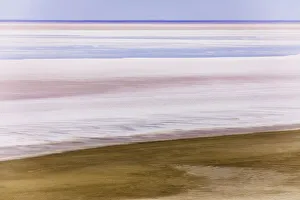
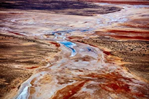
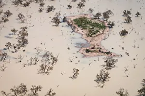
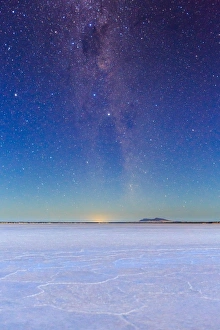
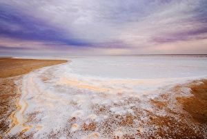
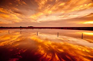
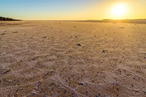
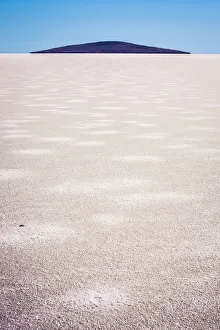
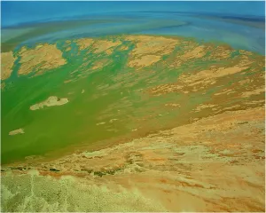
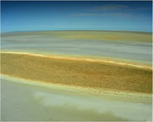
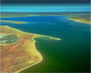
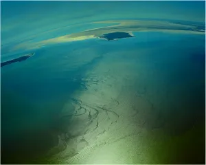
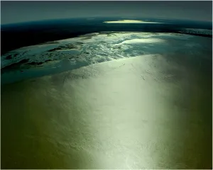
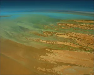
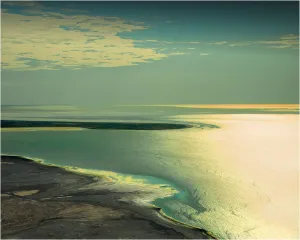
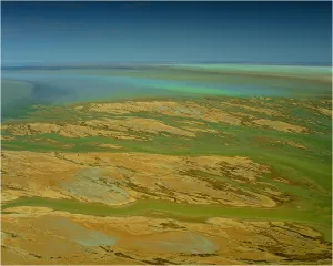
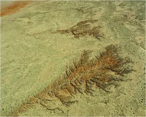
A seemingly-endless expanse of shimmering salt crystals, Lake Eyre is a natural wonder
Kati Thanda-Lake Eyre is Australia’s largest salt lake. Located 647 kilometres north-east of Adelaide, it was formed approximately 200 million years ago! The north lake covers a huge area which is 144km long and 77km wide, and at 15.2 metres below sea level, it is the lowest point on the Australian continent.. The south lake is 64km long and 24km wide. Flood waters cover the lake once every eight years on average. However, the lake has only filled to capacity three times in the last 160 years.
Choose from 29 pictures in our Kati Thanda-Lake Eyre National Park collection for your Wall Art or Photo Gift. All professionally made for Quick Shipping.
Mitchell Pettigrew Photography
Natphotos
Lightning Strikes over Australia
Australian & New Zealand Army Corps
Awe Inspiring Panoramic Photography
Perfect Puzzles
Australian Landmarks
Southern Lightscapes Australia
Best Sellers
Aerial Views
Photographers
Fine Art Photography
Aurora Borealis
Space
Milky Way
Travel
> South Australia (SA)
>> Kati Thanda-Lake Eyre National Park
>> Eyre Peninsula
>> Adeliaide City & Surrounds
>> Coober Pedy
>> Country Regions
>> Flinders Ranges
>> Kangaroo Island
>> Simpson Desert
Historical Australia
Seasons
Colours of Australia
Botanical Art Prints
Abstracts
Animals
Art
Special Events
World Monuments
Images Dated

Aerial view of Lake Eyre with pink water Australia
Aerial view of Lake Eyre in outback South Australia. This enormous, ephemeral lake fills only when floodwaters from the upper catchment are able to travel all the way down through the desert and into this terminal basin. The lake waters are saline, and here are seen with a pink colour, caused by episodic blooms of the salt-tolerant Dunaliella spp. algae
© 2010 Kerry Whitworth

Lake Newland Conservation Park at Eyre Peninsula, South Australia
Full Range of Prints and Gifts in Stock

An Aerial view of the Australian outback in flood around Lake Eyre, showing the vibrant colours of the Landscape
Full Range of Prints and Gifts in Stock

Aerial view of flooded Birdsville Track, Australia
Aerial view over the flooded iconic Birdsville Track at ephemeral Lake Killamperpunna on Cooper Creek in outback South Australia. This lake fills from Cooper Creek only when good rainfall in the upper catchment is able to travel all the way down through the desert to the Lake Eyre system. A large number of eucalyptus trees are inundated by the flooding. The track is covered to a depth of approximately 1 metre. A long detour, including a ferry crossing of the creek, must be established around the lake whenever this flooding occurs
© 2010 Kerry Whitworth