mail_outline sales@mediastorehouse.com
Choose a picture from our collection for your Wall Art and Photo Gifts
16 Items
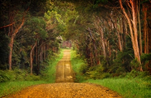
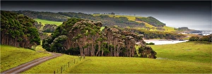
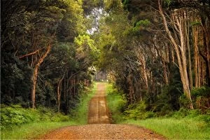
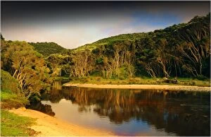
Yarra Creek Back Road King IslandA back road through the rural farmland at Yarra Creek King Island Tasmania Australia
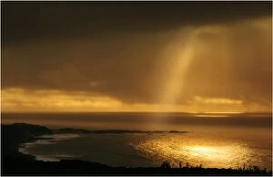
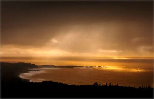
First light of dawn at Grassy bay, King Island, Bass Strait, Tasmania, AustraliaSouthern Lightscapes Australia, 502600204
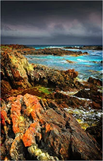
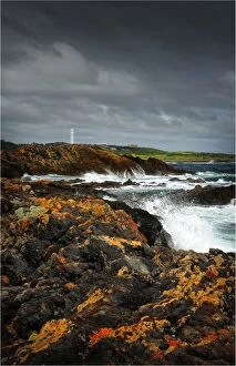
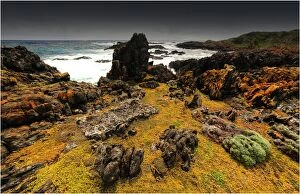
Devils Gap, a treacherous rocky coastline and reef near the Entrance to Currie Harbour on King Island Tasmania
Stormy weather, King Island, Bass Strait, Tasmania, AustraliaSouthern Lightscapes Australia, 506864042
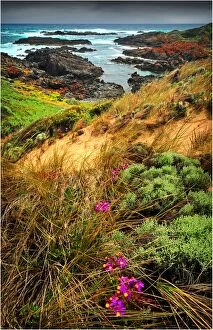
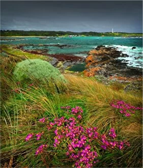
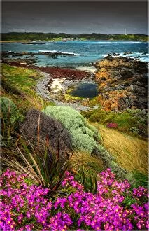
City of Melbourne Bay, named after a shipwreck, is a beautiful small cove on the Eastern coastline of King Island, Bass Strait, Tasmania
A scene from Currie Harbour, which is a safe anchorage for the local Crayfish (Lobster) industry. West coast of King Island, Bass Strait, Tasmania
King Island, Bass Strait, Tasmania
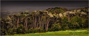
Melaleuca trees, so typical of the native foliage on King Island, Bass Strait, Tasmania, Australia
A gravelled rural road into farmland, King Island, Bass Strait, Tasmania, Australia
Yarra creek, King Island, Bass Strait, Tasmania, Australia
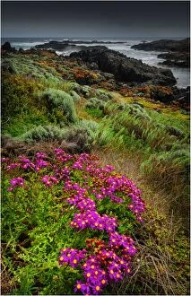
A view of the western coastline of King Island, Bass Strait, Tasmania, Australia
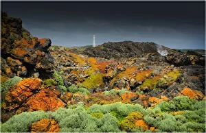
View to Currie lighthouse, King Island, Bass Strait, Tasmania, Australia
King Island, Bass Strait, Tasmania, Australia