mail_outline sales@mediastorehouse.com
A view at north east point on Flinders Island, Bass Strait, Tasmania, Australia
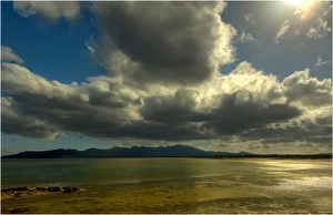
Petrifaction bay cloudscape on Flinders Island, Bass Strait, Tasmania, Australia
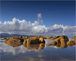
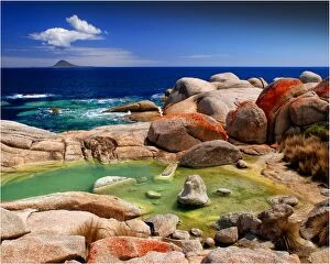
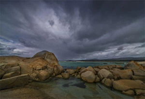
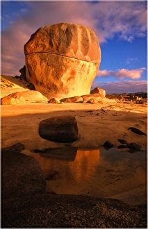
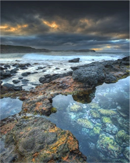
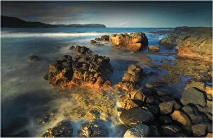
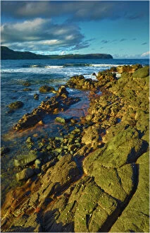
A view of the boulders and rocky coastline at Sawyers Bay on Flinders Island, Bass Strait, Tasmania, Australia
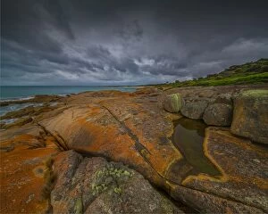
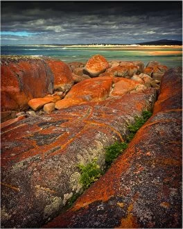
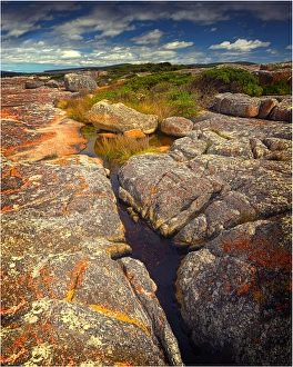
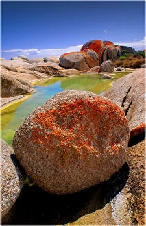
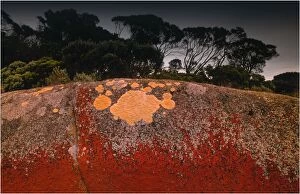
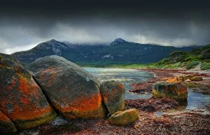
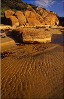
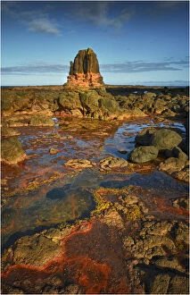
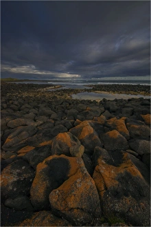
Red coloured boulders, caused by lichen growing at the high tide mark on Flinders Island, Bass Strait, Tasmania, Australia
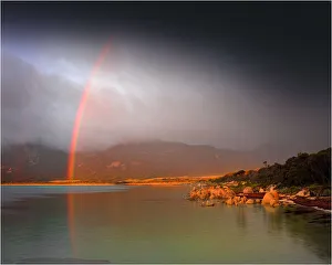
A rainbow after a storm at Fotheringate beach, Flinders Island, Bass Strait, Tasmania, Australia
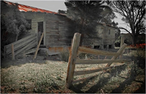
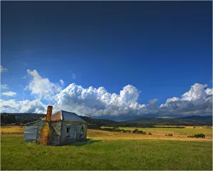
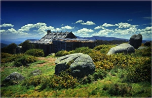
The old and historic shearing shed at Wybalena on Flinders Island, Bass Strait, Tasmania, Australia
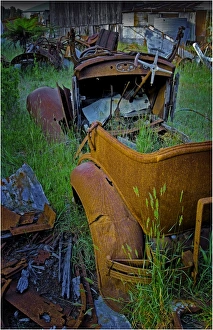
Old vehicles rusting away at Badgers corner, Flinders Island, Bass Strait, Tasmania, Australia
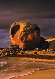
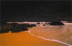
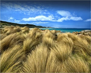
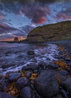
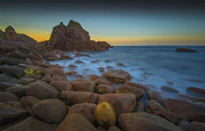
Castle Rock, Flinders Island, Bass Strait, Tasmania, Australia
Old and abandoned hut at Sawyers Bay, Flinders Island, Bass Strait, Tasmania, Australia
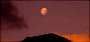
Rising moon over the Strzelecki range on Flinders Island, Bass Strait, Tasmania, Australia
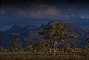
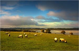
Afternoon light sweeps across the countryside with a view of the distant mountains of the Flinders Ranges national park, South Australia
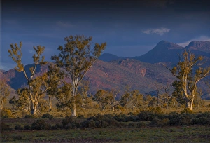
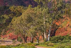
Eucalypts in the Parachilna gorge, southern Flinders Ranges South Australia
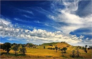
A cloudscape over rolling countryside near Bonnie Doon, Central Victoria
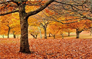
Autumn colours in a chestnut orchard, Central Victoria
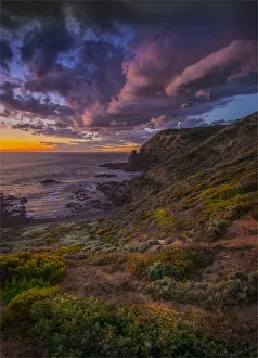
Dawn at bushrangers bay, near Cape Schanck, Mornington Peninsular, Victoria
Coastline inside the Croajigalong national park, East Gippsland, Victoria, AustraliaThe Croajingolong National Park is a coastal national park located in the East Gippsland region of the Australian state of Victoria
Summer in the high country of Central Victoria, near the summit of Mount Stirling
Churchill Island, is a small islet just offshore Phillip Island, in Western-port bay, Victoria, AustraliaChurchill Island is a 50.7 hectares island in Western Port, Victoria, Australia. It is connected by a bridge to Phillip Island. It is the site of the first European garden in Victoria
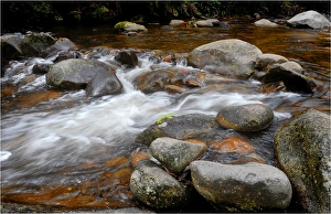
Cascading water in a small stream, Otway ranges, Victoria, Australia
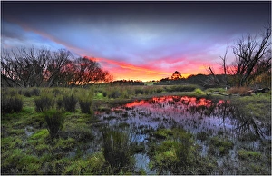
A misty dawn in the rural area of Carrum downs, Victoria, Australia
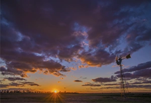
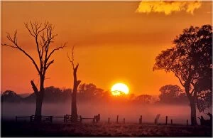
Countryside dawn near Greta West, Victoria
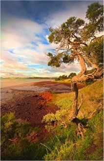
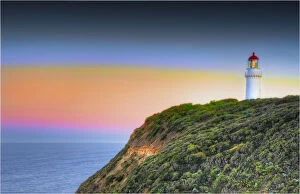
Cape Schanck, on the coastline of the Mornington peninsular, Victoria, AustraliaCape Schanck is a locality in the Australian state of Victoria. It is the southernmost tip of the Mornington Peninsula and separates the wild ocean waters of Bass Strait from the slightly calmer
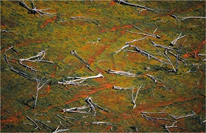
Flowering Cape-weed growing in among dead trees that lie in a paddock in East Gippsland, Victoria, Australia
Cat bay on Phillip Island, Western-port bay, Victoria, Australia
Coastline near Port Fairy, Western Victoria
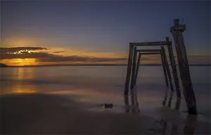
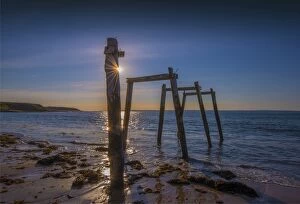
Early light along the coastline at the Pinnacles, on Phillip Island, Victoria