mail_outline sales@mediastorehouse.com
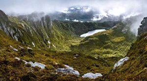
Lake Cygnus in Western Arthurs Range, Southwest Tasmania
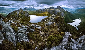
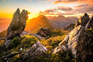
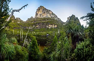
View to mt Mt Hayes from Capella Crags in Western Arthurs Range, Southwest Tasmania
View to Federation Peak in Eastern Arthur Range, Southwest Tasmania
Lake Jupiter in Western Arthurs Range, Southwest Tasmania
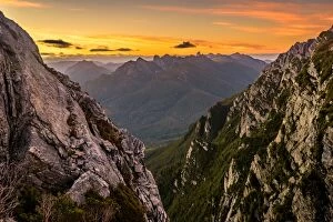
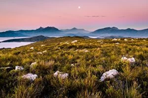
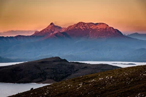
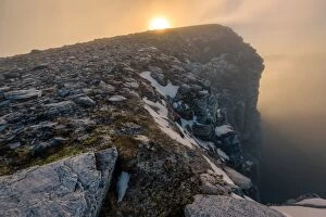
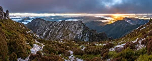
Sunrise over Eastern Arthurs in Western Arthurs Range, Southwest Tasmania
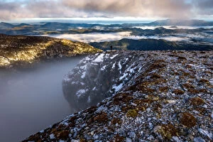
View of Eastern Arthurs Range, Lake Geeves and Hanging Lake from Geeves Bluff in Southwest Tasmania
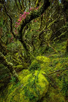
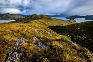
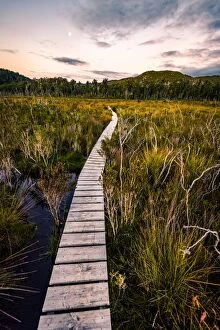
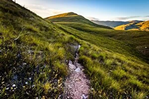
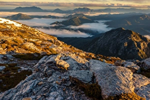
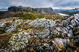
Alpine Moorland in Western Arthurs Range, Southwest Tasmania
Square Lake in Western Arthurs Range, Southwest Tasmania
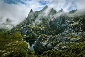
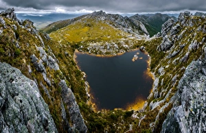
Lake Neptune in Western Arthurs Range, Southwest Tasmania
mt. Hesperus in Western Arthurs Range, Southwest Tasmania
Lake Sirona in Western Arthurs Range, Southwest Tasmania
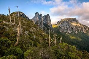
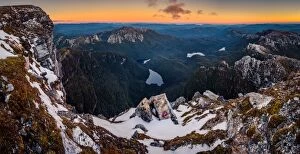
Eastern descent from mount Hayes in Western Arthurs Range, Southwest TasmaniaEastern descent from mt. Hayes in Western Arthurs Range, Southwest Tasmania
Sunset at West Portal and view towards Western Arthurs Range, Southwest Tasmania
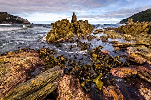
Wilson Bright, South West Cape track, Southwest TasmaniaInteresting rock formation at Wilson Bright, South West Cape track, Southwest Tasmania
View from the top of Mt Beattie, Southwest Tasmania
View of mt Anne from Red Knoll lookout
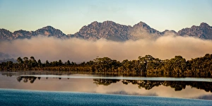
Morning fog over Lake Pedder, Southwest Tasmania
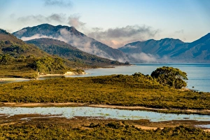
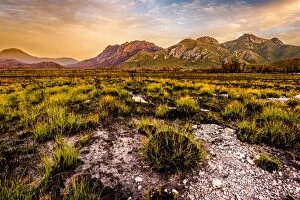
Sunset at Arthur Plains in Southwest Tasmania
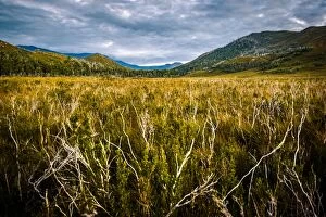
Dieback disease area at Arthur Plains in Southwest Tasmania
View of mt Anne from Red Knoll lookout, Southwest Tasmania
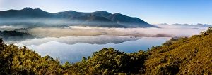
Lake Pedder and Western Arthurs Range, Tasmania
View to the Sentinel Range in Gordon River Valley after 2016 fires. Southwest Tasmania
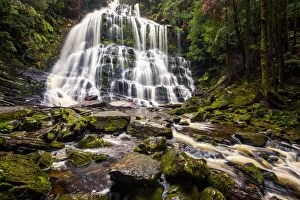
Nelson Falls in Franklin-Gordon Wild Rivers National Park, Tasmania
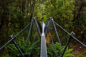
Bridge across Franklin River on the track to Frenchmans Cap, Franklin-Gordon Wild Rivers National Park, Tasmanis
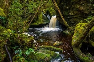
Waherfall on the track to Frenchmans Cap, Franklin-Gordon Wild Rivers National Park, Tasmanis
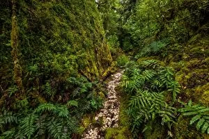
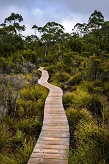
Track to Frenchmans Cap, Franklin-Gordon Wild Rivers National Park, Tasmanis
Franchmens cap and Lake Tahune at sunrise. Franklin-Gordon Wild Rivers National Park, Tasmania
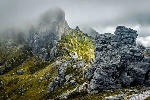
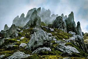
Sharlands and Philps peaks in Franklin-Gordon Wild Rivers National Park, Tasmania
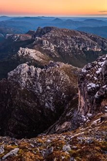
Sunrise at the top of Frenchmans Cap, Tasmania
Franklin River Basin in in Franklin-Gordon Wild Rivers National Park, Tasmania
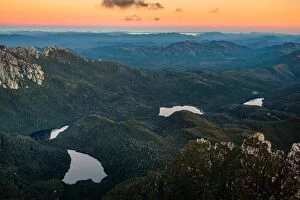
Lake Cecily, Lake Gertrude, Lake Magdalen and Lake Millicent in Franklin-Gordon Wild Rivers National Park, Tasmania. View from the top of Frenchmans Cap
Sunset at the top of Frenchmans Cap
View to West Wall from the Temple in Walls of Jerusalem National Park, Tasmania