mail_outline sales@mediastorehouse.com
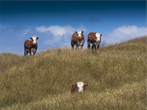
Beef Cattle on lush pastures, King Island TasmaniaOlympus Digital Camera
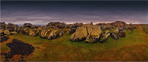
The Gulchway, a rugged and isolated part of the West coastline of King Island, Bass Strait, Tasmania
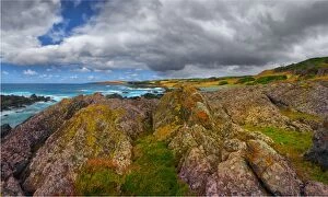
Half Moon bay on the Western coastline of King Island, Bass Strait, Tasmania
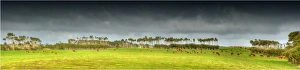
Cattle grazing on rich lush pastures near Yellow Rock beach, King Island Tasmania
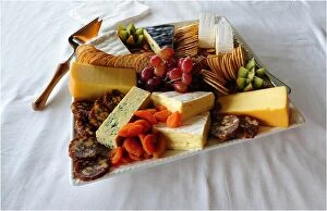
A platter of local King Island produce. Soft and hard cheeses produced in the Cheese factory at Porkies Creek. Bass Strait, Tasmania
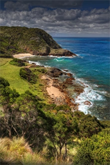
City of Melbourne Bay, named after a shipwreck, is a beautiful small cove on the Eastern coastline of King Island, Bass Strait, Tasmania
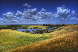
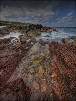
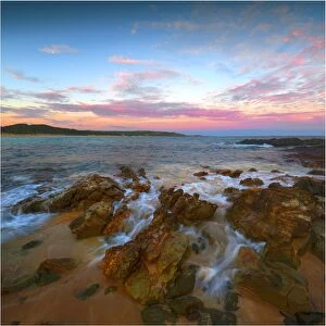
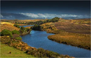
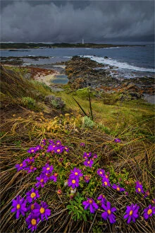
View to Chain of Lagoons, Surprise bay, South west King Island, Bass Strait, Tasmania
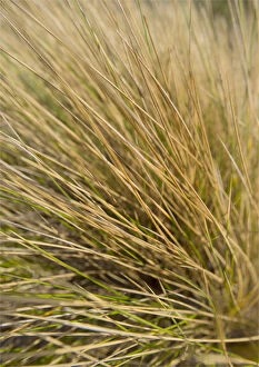
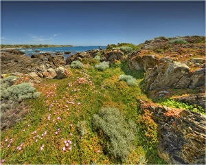
Coastal Grasses (Ammophila) common to the sand dunes on King Island. Bass Strait, Tasmania
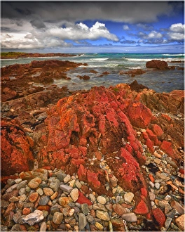
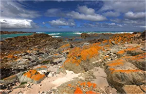
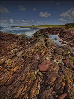
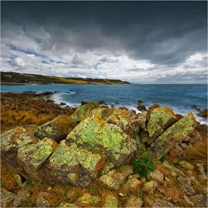
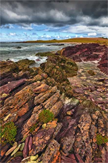
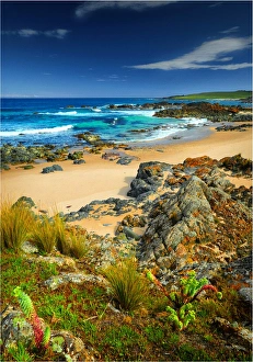
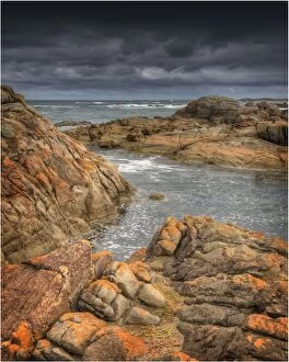
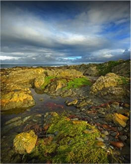
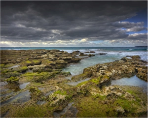
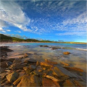
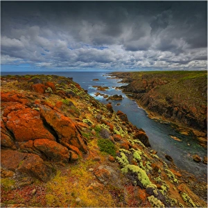
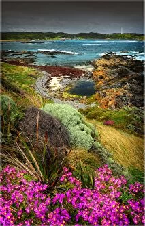
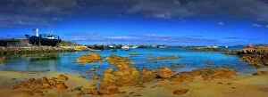
Half moon bay on the West coastline of King Island, has large rock-pools and magnificent red coloured lichen boulders of pink granite. Bass Strait, Tasmania
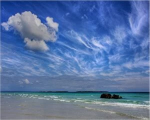
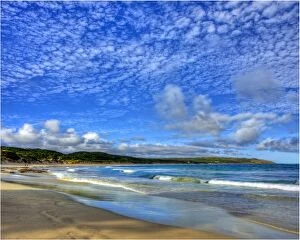
Cloudscape on Yellow rock Beach, West coast of King Island, Bass Strait, Tasmania
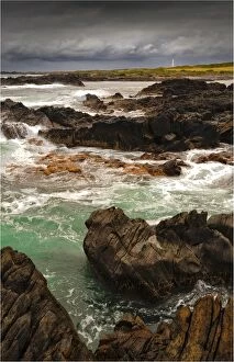
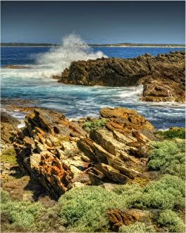
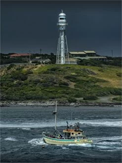
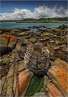
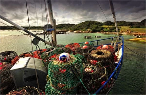
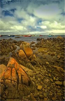
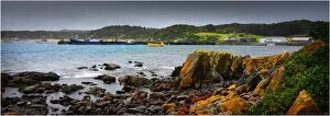
A scene from Currie Harbour, which is a safe anchorage for the local Crayfish (Lobster) industry. West coast of King Island, Bass Strait, Tasmania
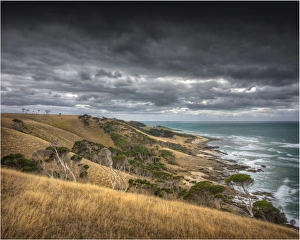
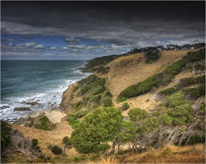
Coastal views near the Wall, an area so named because of its steepness, extreme difficulty and sheer hardship to land boats in the early colonial days. East coast of King Island, Bass Strait, Tasmania
A scene from near Currie Harbour, which is a safe anchorage for the local Crayfish (Lobster) industry. West coast of King Island, Bass Strait, Tasmania
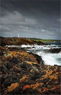
Coastline near Victoria cove in the North West corner of King Island, Bass Strait, Tasmania
Seal bay, isolated, and extremely rugged and rocky coastline, is magnificent in winter as huge waves pound the coast. King Island, Bass Strait, Tasmania
Sea Elephant bay, East coast of King Island, Bass Strait, Tasmania
Colliers beach, situated on the south East coastline of King Island, Bass Strait, Tasmania
Seal River view, Southern King Island, Bass Strait, Tasmania
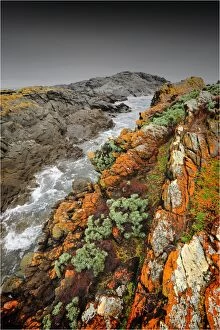
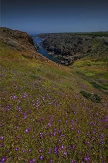
The copperhead cliffs on the South Western corner of King Island are isolated, rugged and extremely steep. Bass Strait, Tasmania
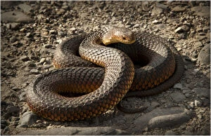
Copperhead snake, (Austrelaps superbus) King Island, Bass Strait, Tasmania
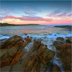
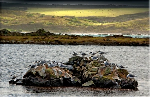
Crested Terns, Surprise bay, King Island, Bass Strait, Tasmania
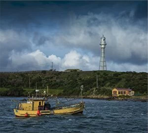
Currie harbour view, King Island, Bass Strait, Tasmania